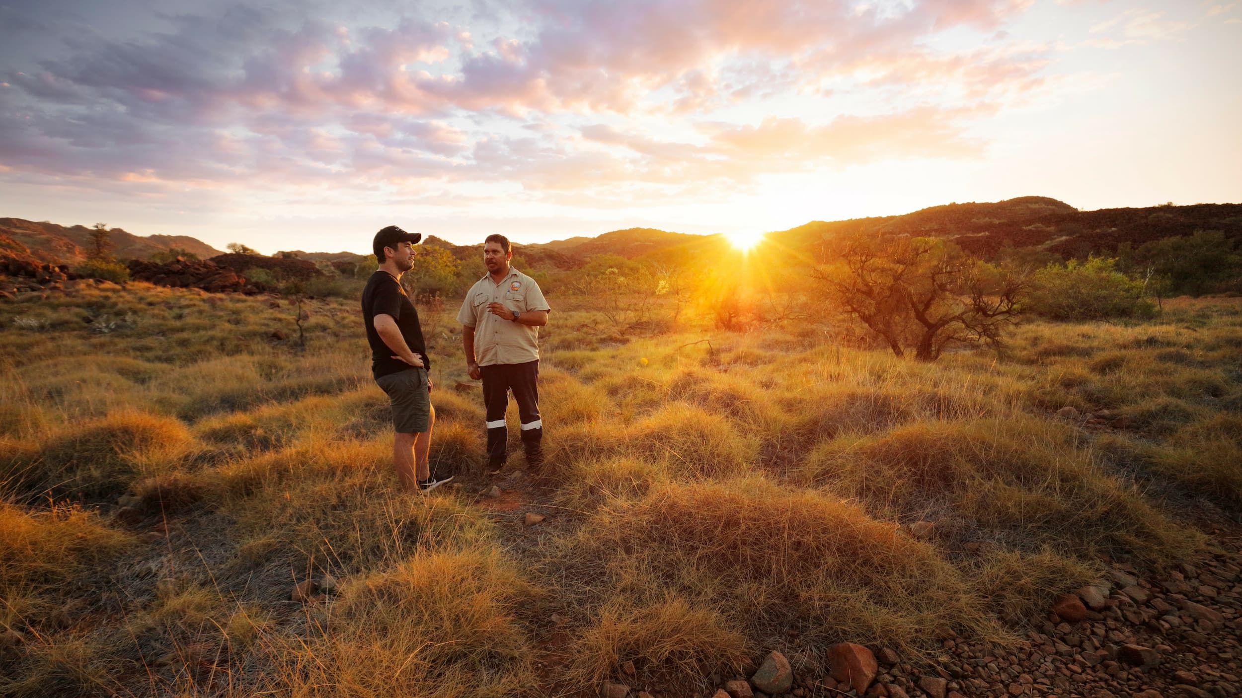
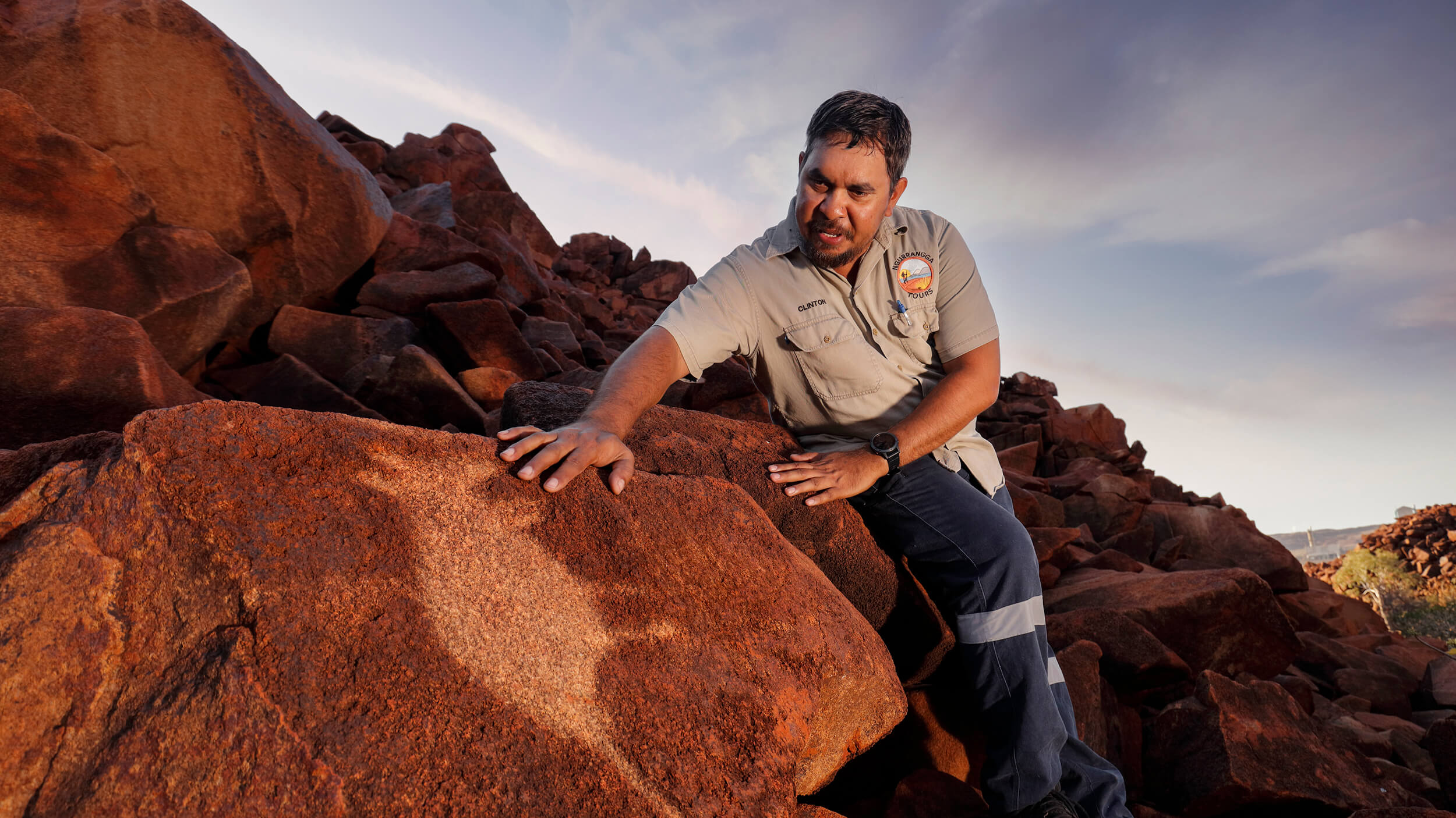
Murujuga has the distinction of being the 100th National Park declared in Western Australia. Murujuga is vested with the Murujuga Aboriginal Corporation (MAC) comprising traditional custodians the Ngarluma-Yindjibarndi, the Yaburara-Mardudhunera and the Woon-goo-tt-oo. The recognition of ongoing Aboriginal interests and responsibilities for managing country is at the core of this innovative and inclusive approach.
Explore Murujuga National Park
It’s estimated that there are in excess of one million petroglyphs within the park itself. The rock art not only tells the story of human habitation, dating back to when the land was some 100 kilometres inland from the sea, but it also records the lore for Aboriginal people to the north western tip of Australia, south past Carnarvon and east as far as Alice Springs. The rock art has deep meaning for the local Aboriginal people. The rock art itself is a record of the sea levels rising over time, depicting extinct land animals and then sea animals as the local Aboriginal population adapted to the changing land. The park’s extensive rock art and associated archaeological materials include shell middens, stone artifact scatters, quarries, stone arrangements, ceremonial and mythological sites, graves and petroglyphs.
History
Wildlife and Flora
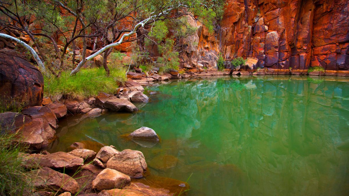
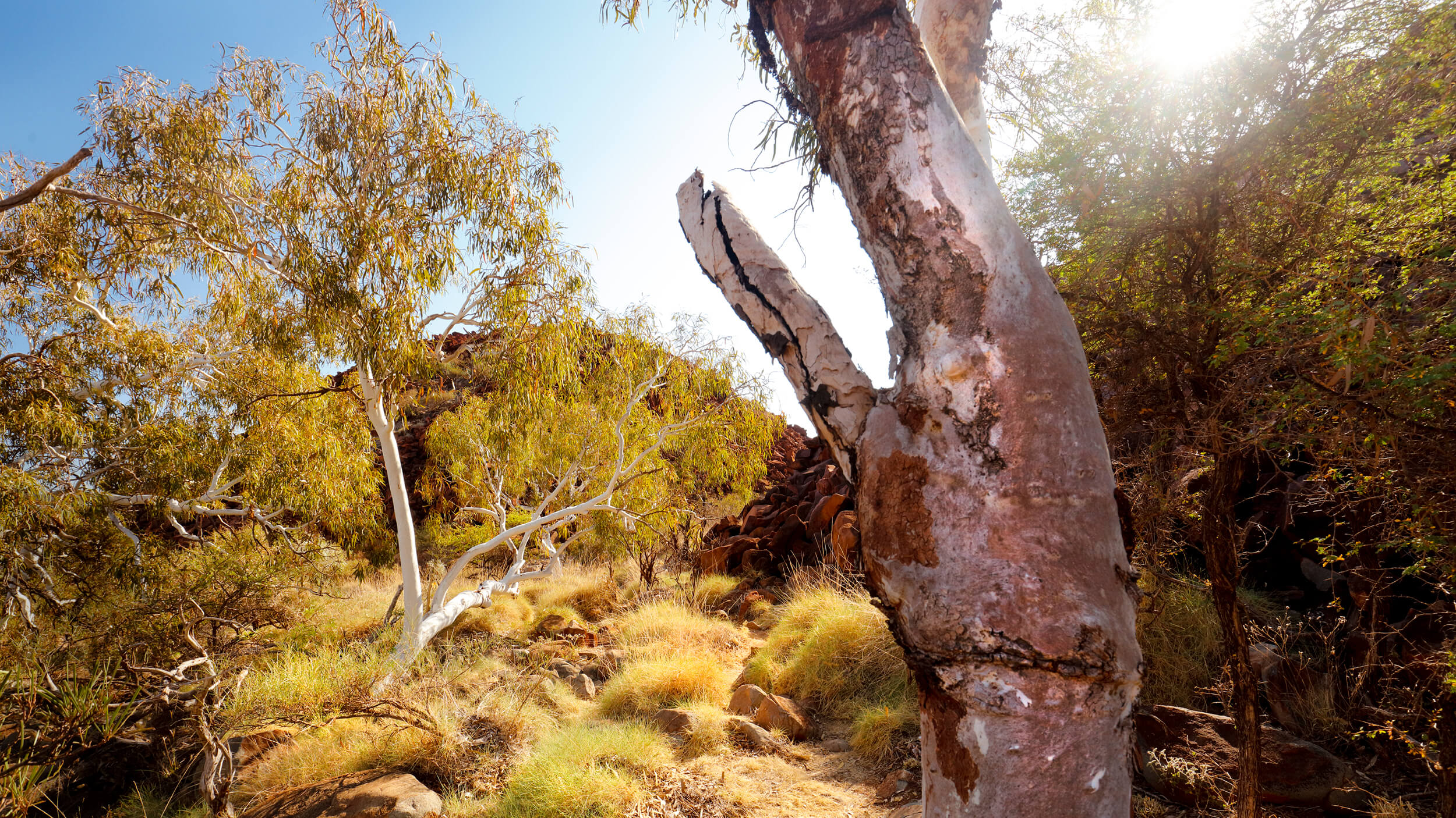
The park is ecologically and biologically diverse. Major landforms and habitats within the park include steep scree-strewn granophyres and gabbro hills, narrow valleys, sandy and rocky shores, mangroves, mudflats and sea cliffs. The rock piles are important for providing refuge to fire sensitive plants.
A diverse range of animals inhabit the park – more than 14 native ground mammal species, at least 14 species of bats, 58 reptile and two frog species are recorded from the area. Notable species include the Pilbara olive python, Rothschild’s rock wallaby and a number of shorebirds protected under international agreements.
Things to do


Getting to Murujuga National Park
Leave the Dampier Road and turn onto the Burrup Peninsula Road. The national park is located on the right-hand side of the road and includes the hills surrounding Hearson Cove. Hearson Cove itself is not a part of the national park. Continue along the Burrup Peninsula Road. Turn right onto the road to Withnell Bay. The national park lies north and east of Withnell Bay.
From Withnell Bay onward, the track is rough and suitable for walking, mountain bikes or high-clearance four wheel drives only. Stay on existing tracks.